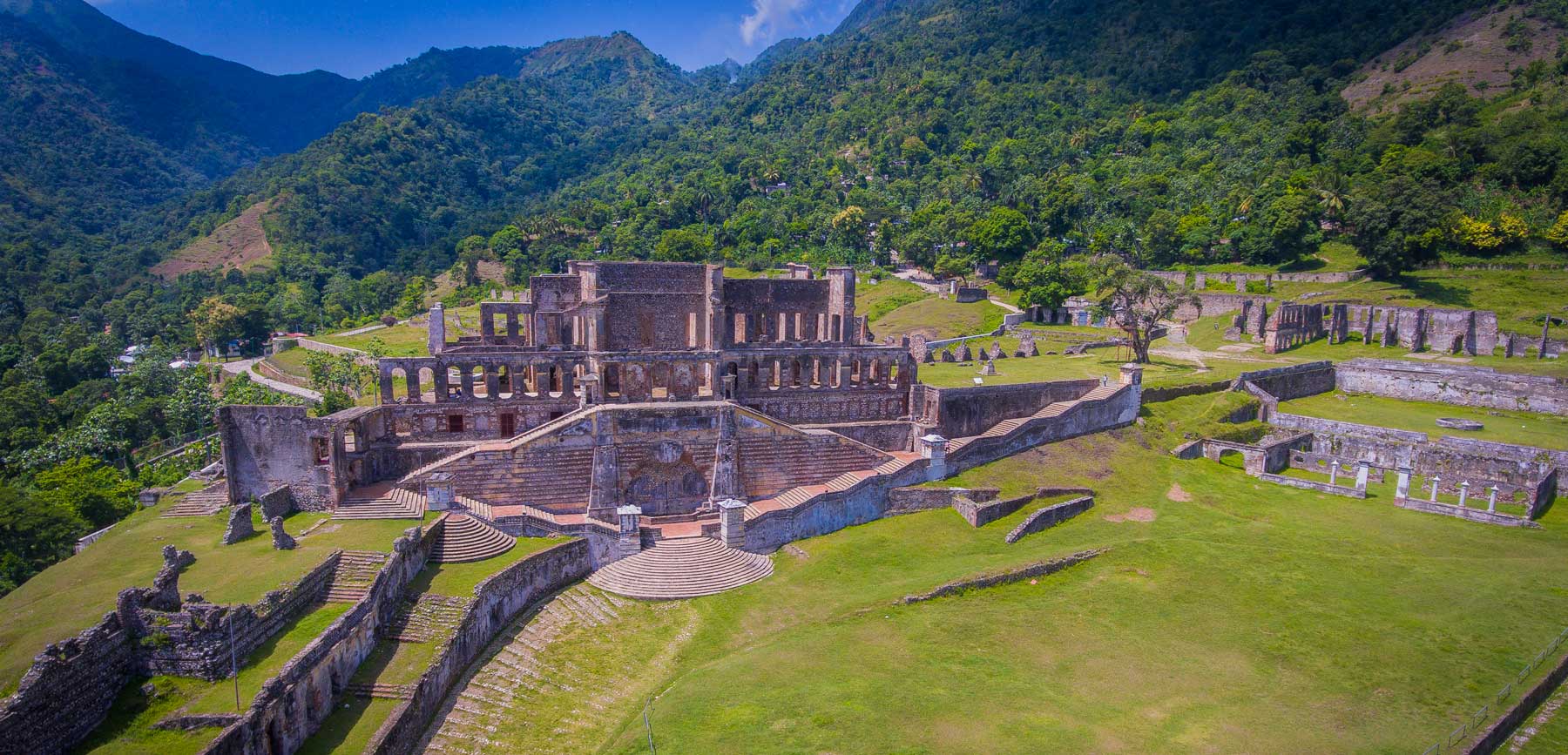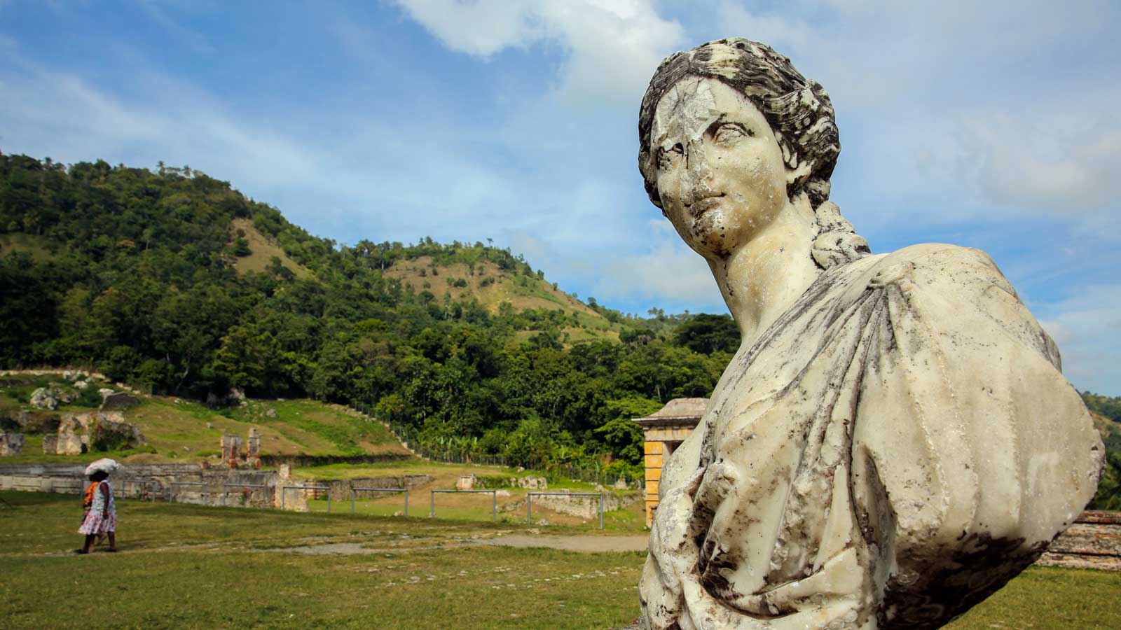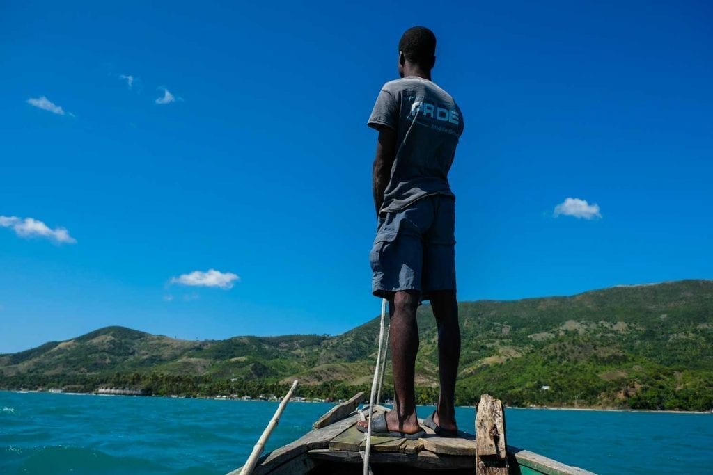
Photo: Anton Lau
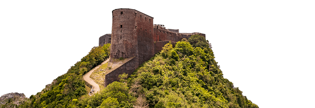
Explore Fort Ogé
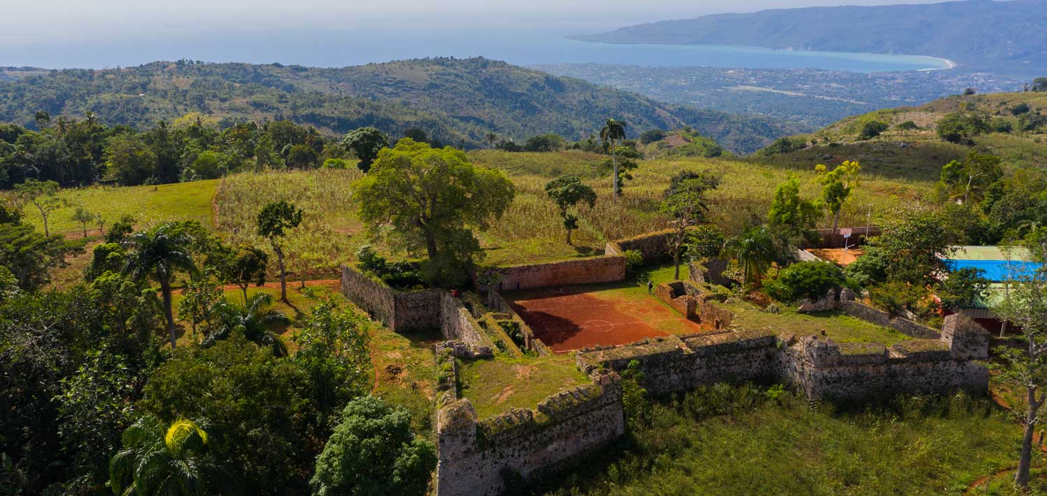
This 200 year-old fortress site is cared for by the local community and offers visitors a personal tour through Haiti’s battle for independence
While most of us know the city of Jacmel as the picturesque home of Haitian art, culture, and popular beachfronts, it is also where you’ll find Fort Ogé.
Tiny compared to the towering Citadelle Laferrière, Fort Ogé often gets overlooked when it comes to adventurers’ itineraries, but comparisons aside, this fort is impressive and well worth exploring in its own right.
start your day
the Haitian way
Embrace the warmth of Haitian hospitality with our Bonjou Coffee Mug. “Bonjou” is more than a greeting – it’s a way to welcome a new day with positivity and warmth.


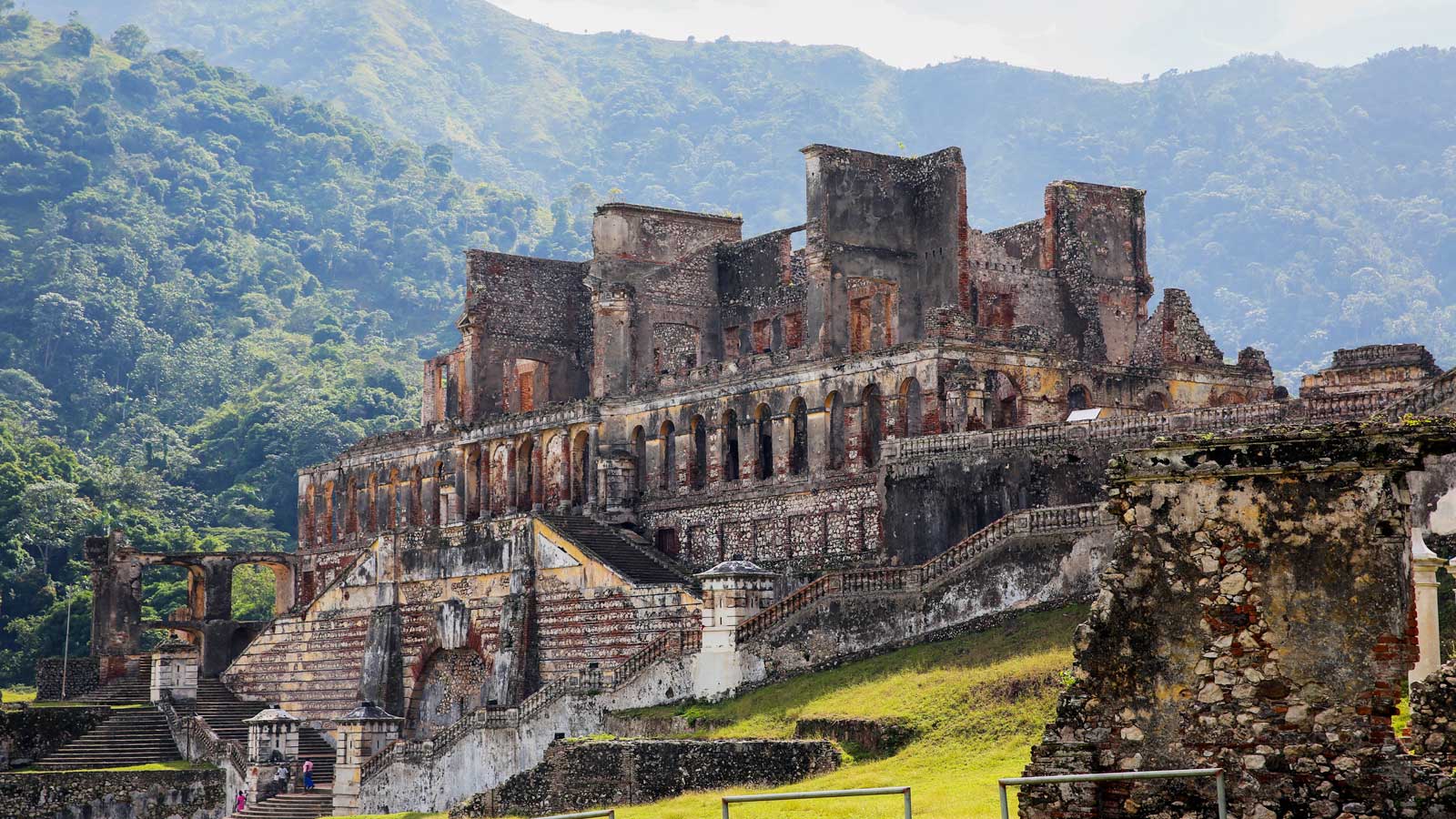
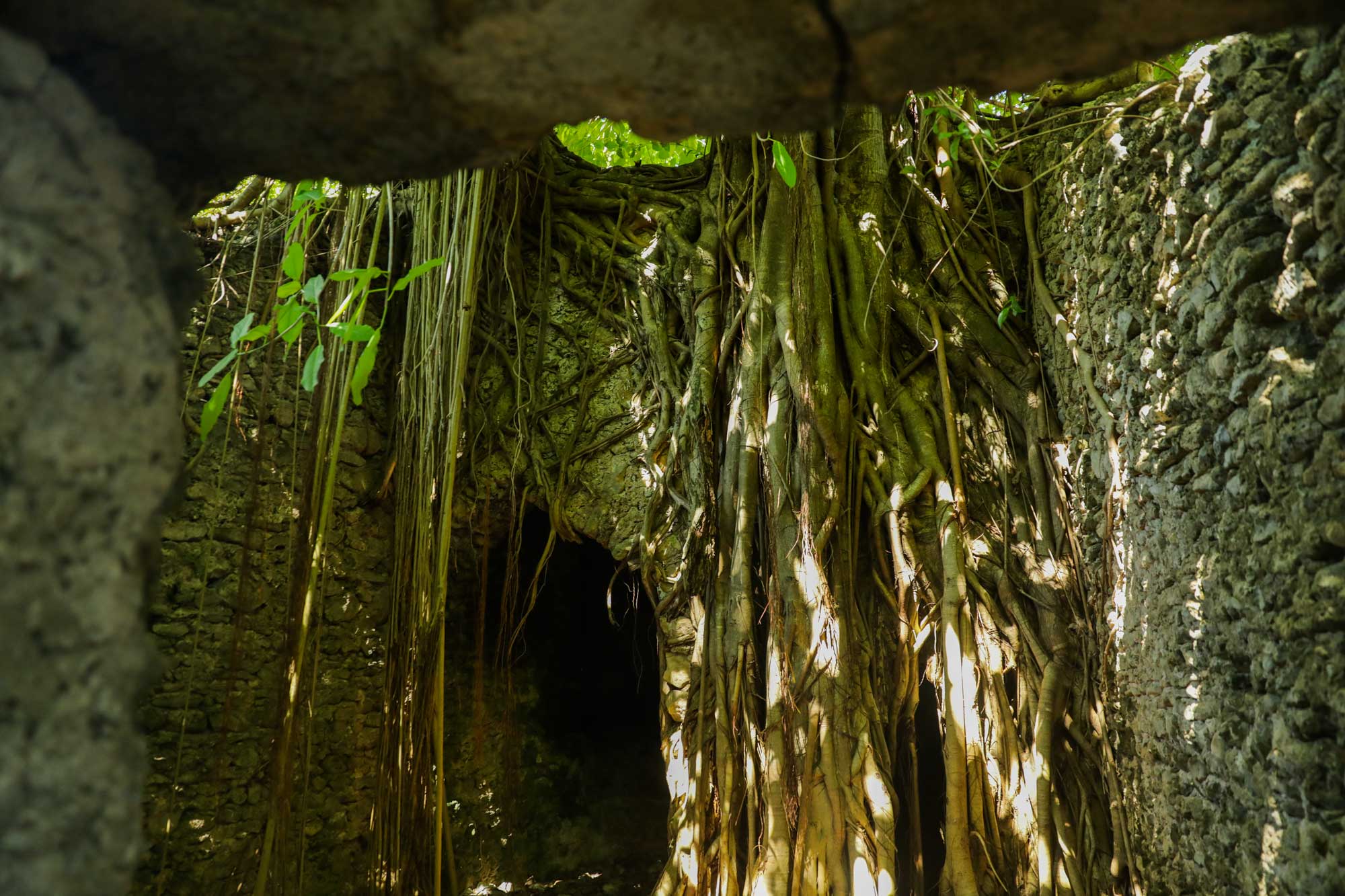
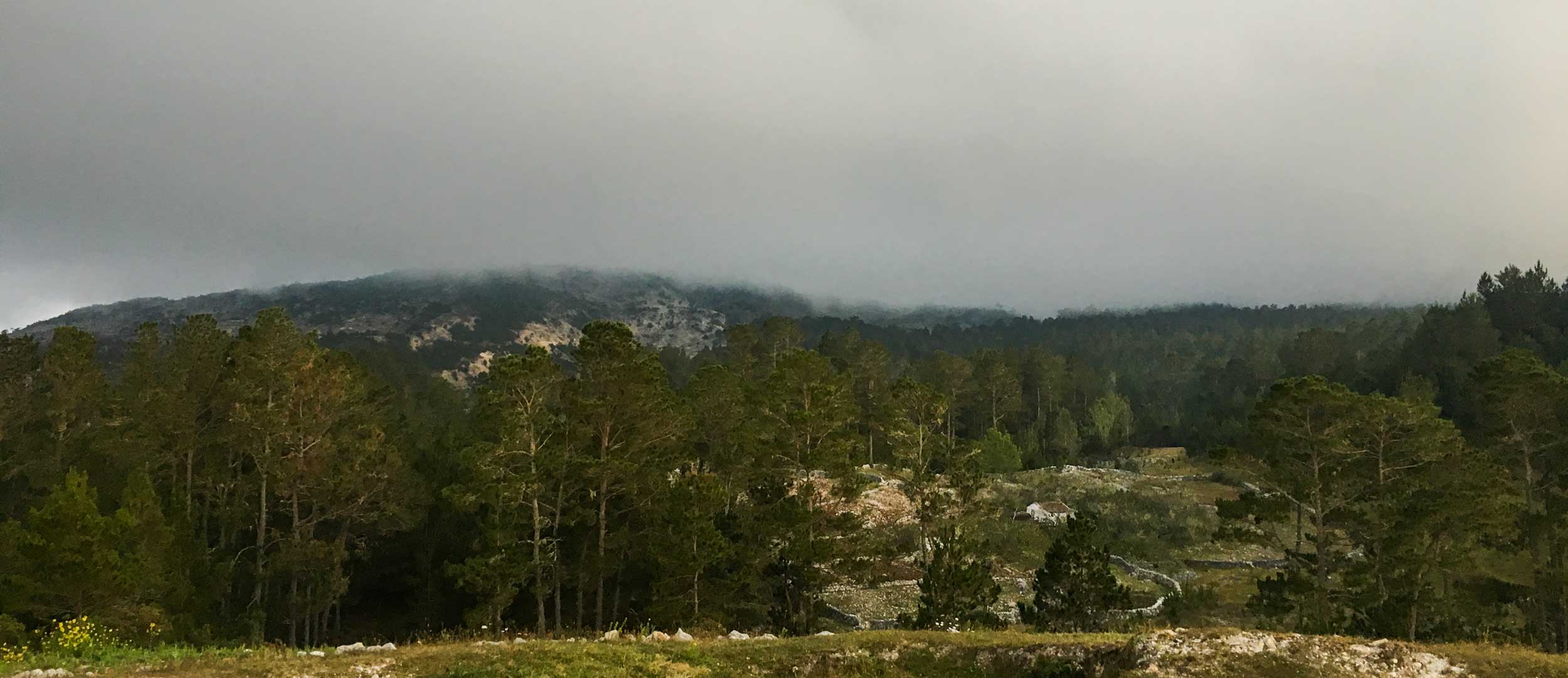
Photo: Anton Lau
Explore Fort Ogé
Right around the time Haiti was seizing its independence from the slave-owning colonial upper class, resistance leaders like Jean-Jacques Dessalines ordered the construction of forts all over liberated territories, built to provide safe refuge for the newly freed people and to deter counteroffensives, in case the French returned and tried to retake the island. This era became known as the fortification of Haiti, and Fort Ogé, built in 1804, is one of about 20 military sites fortified during this period. Fort Ogé was named after Vincent Ogé, one of the most popular Haitian revolutionaries.
Fort Ogé was undamaged by the 2010 earthquake and stands strong to this day. Built over two centuries ago, the still-imposing fortress will have you asking “how?” – how did independence leaders know to build a fortress in such a strategic place, and how was it done with the limited tools available at the time? How did they carry multiple heavy canons up the slope to the fortress?
Compared to Citadelle Laferriere, the largest fortress in Haiti (and one of the largest fortresses in all of the Americas), Fort Ogé is not as swamped by tourists, making it a great destination if you came to Haiti looking for an adventure away from the crowds but accidentally found yourself here during peak season.
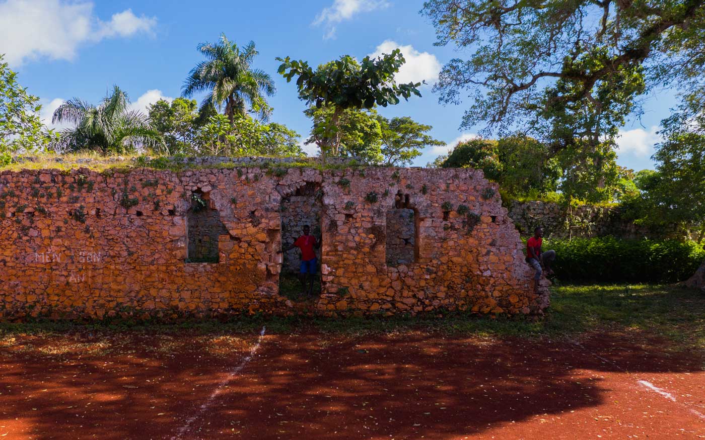
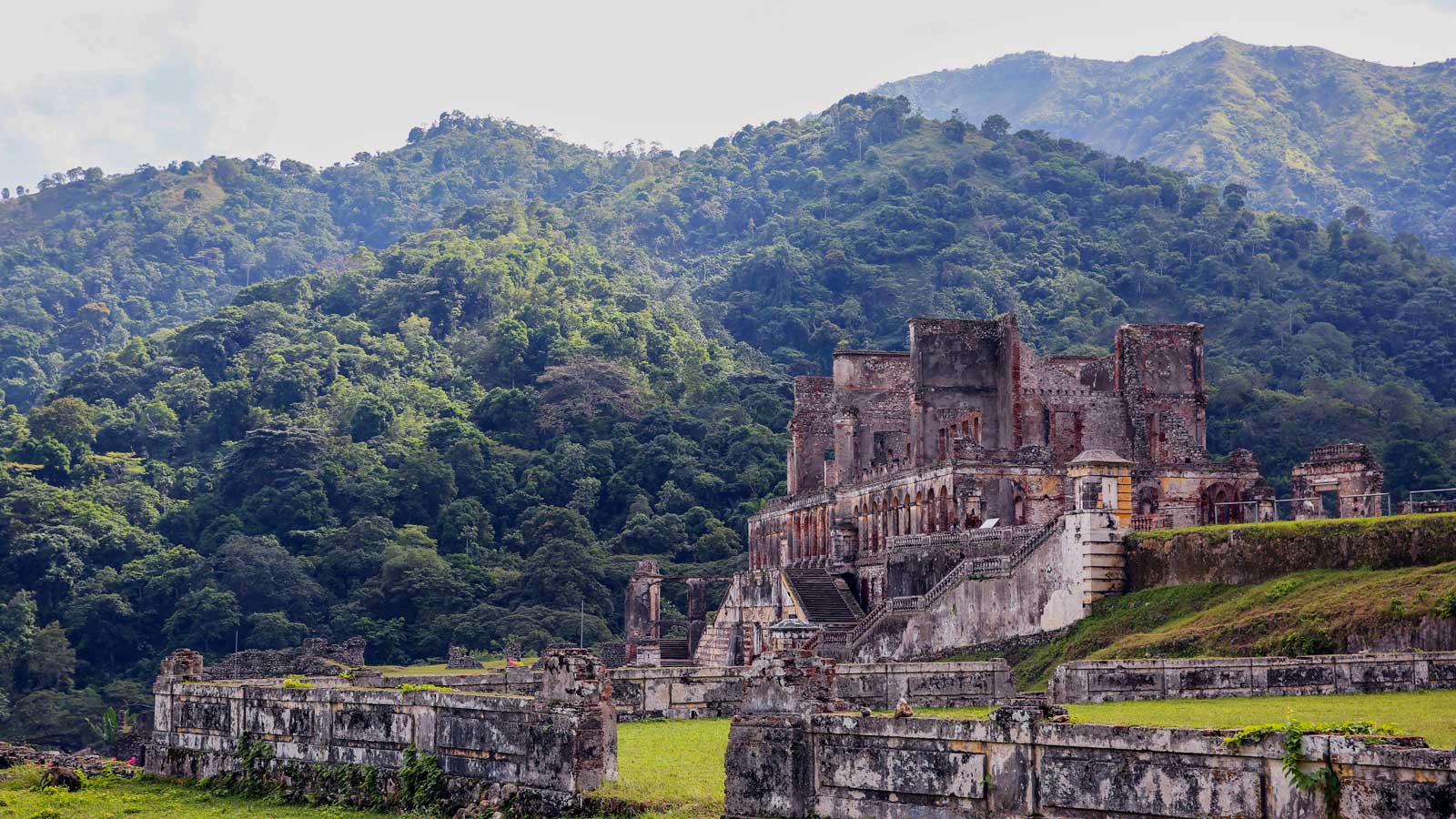
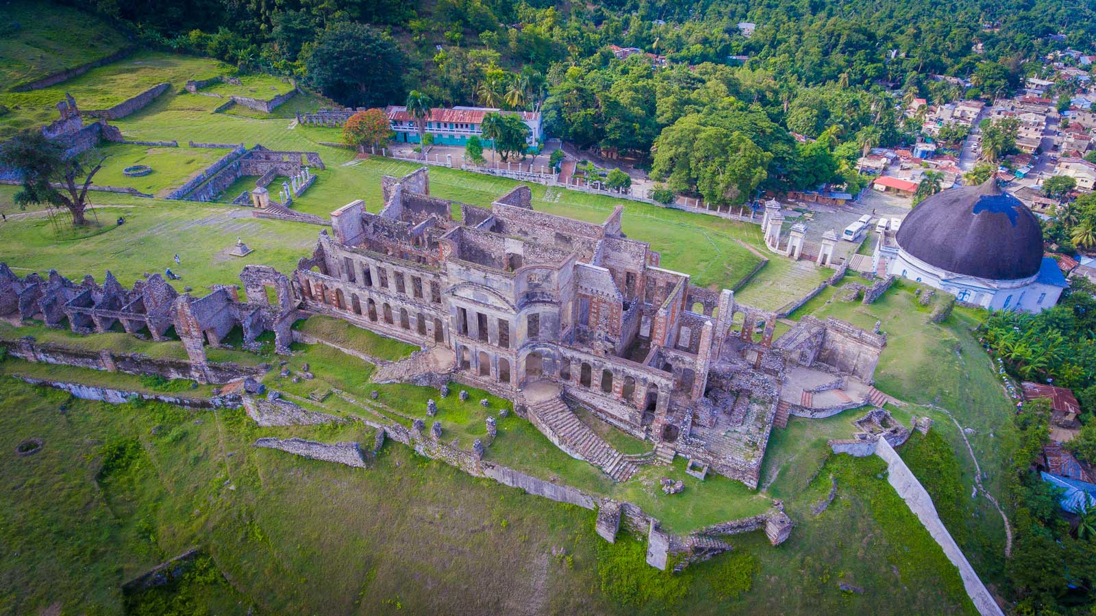
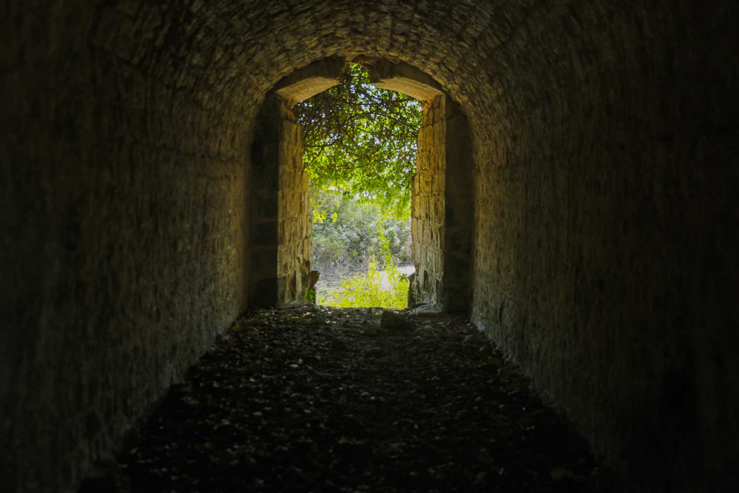
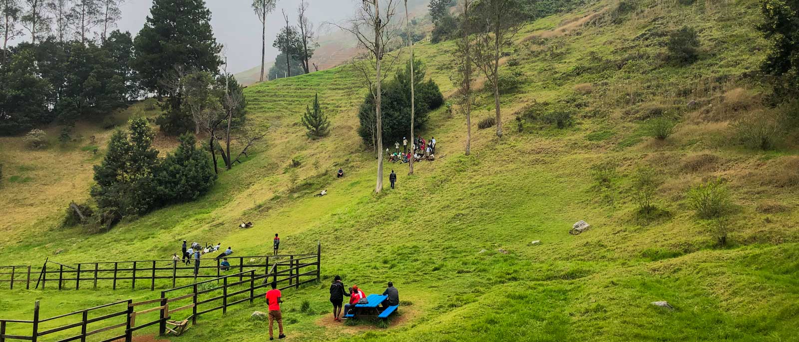
Photo: Anton Lau
Guided tours
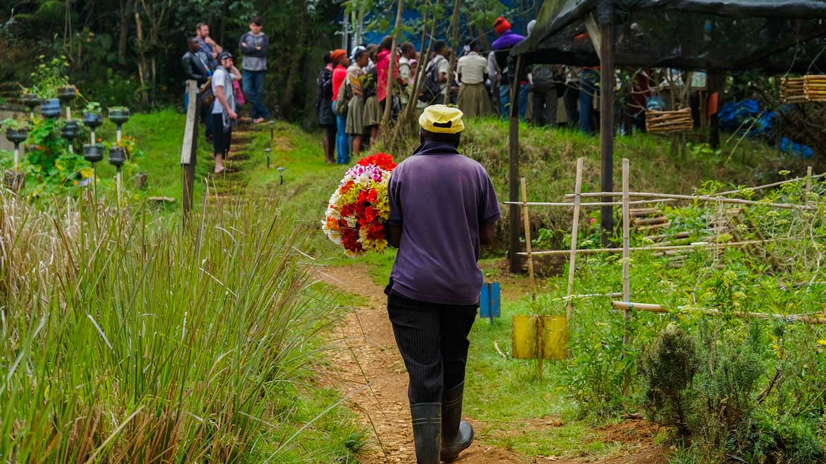
The real gem waiting to be discovered when you explore Fort Ogé is the history behind how it was built – hidden to most, but in plain sight for those who know how to look. This is why a personal guided tour is the best way to see the site – local guides can narrate the history of the fort as you explore, right down to the specific uses of the different dungeons.
As is the case at almost every landmark or sightseeing location in Haiti, children run around the site playing, and some members of local committees will most likely come up to greet you and show you around. The site is cared for and used by the residents of the area, as are many other national treasures, to help bridge the gap left behind by the Ministry of Culture. Locals are always ready to give a taste of true Haitian hospitality – which of course includes suggestions for where to get fed, what else you should see during your trip, and where to find the best entertainment.
You’ll find that at times where visitors are few and far between, the fort is an integral part of the townsfolk life; children play soccer there, and old folks wander around. By paying a small entry fee and/or hiring a personal guide, you’ll be contributing to the development of the area through community projects.
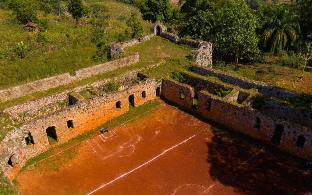
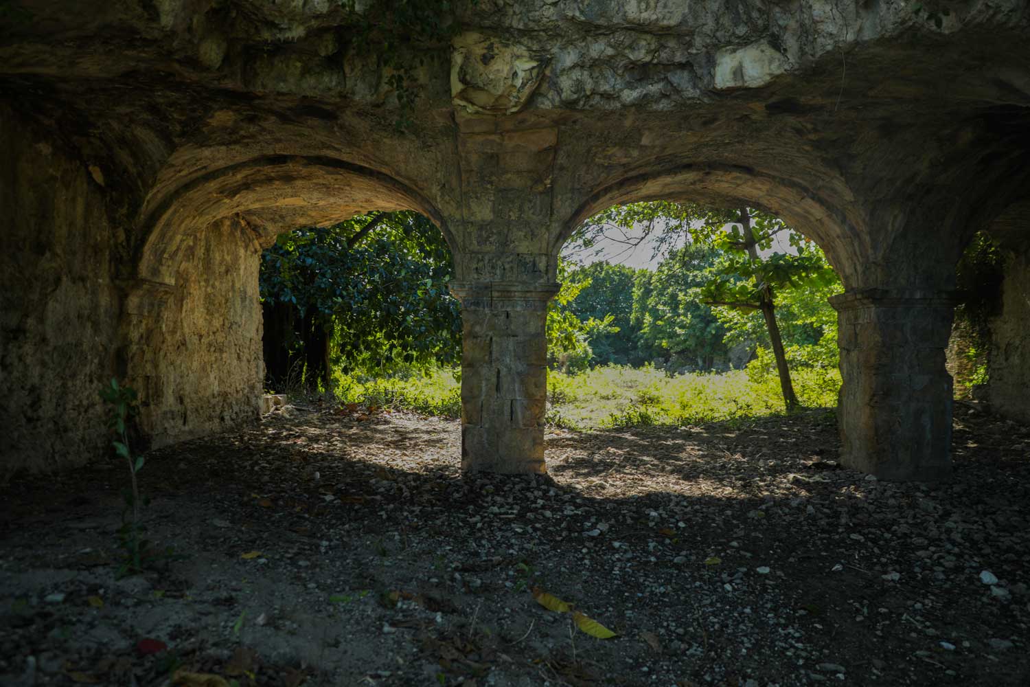
Photo: Anton Lau
Getting there
Located about an hour east of Jacmel, Fort Ogé is close to other historical landmarks including Cap Rouge, as well as other top Haitian destinations like Bassin Bleu, Raymond le Bains beach and the charming fishing village of Marigot.
The easiest starting point to get to Fort Ogé is the city of Jacmel. If you are driving in your own car, start out towards Cayes-Jacmel. Once reach the Jacmel Airport (it will be on your left), make a left onto Avenue Gerald M. Mathurin. From there, it’s very simple; just follow the signs up to Fort Ogé! The road up to the fort is quite rough, though, and so your drive will be much more successful in a four-wheel drive vehicle.
If you do not have a car, don’t worry— you can still make it to the fort by moto! At the corner of the Jacmel Airport, you will find a throng of moto drivers, ready to go. The fee to get to the fort should be 500 HTG, and this should include your driver waiting for you at the fort— and therefore receiving payment from you when you are back in the city. Make sure to pick out a moto that can handle the rocky road and sharp inclines!
Written by Kira Paulemon.
Published December 2019
Find Fort Ogé

Go on a self-guided
tour of Haiti’s Gingerbread houses
These real-life fairytale mansions have just been named one of the world’s most important at-risk heritage sites. See Haiti’s Gingerbread Houses today.
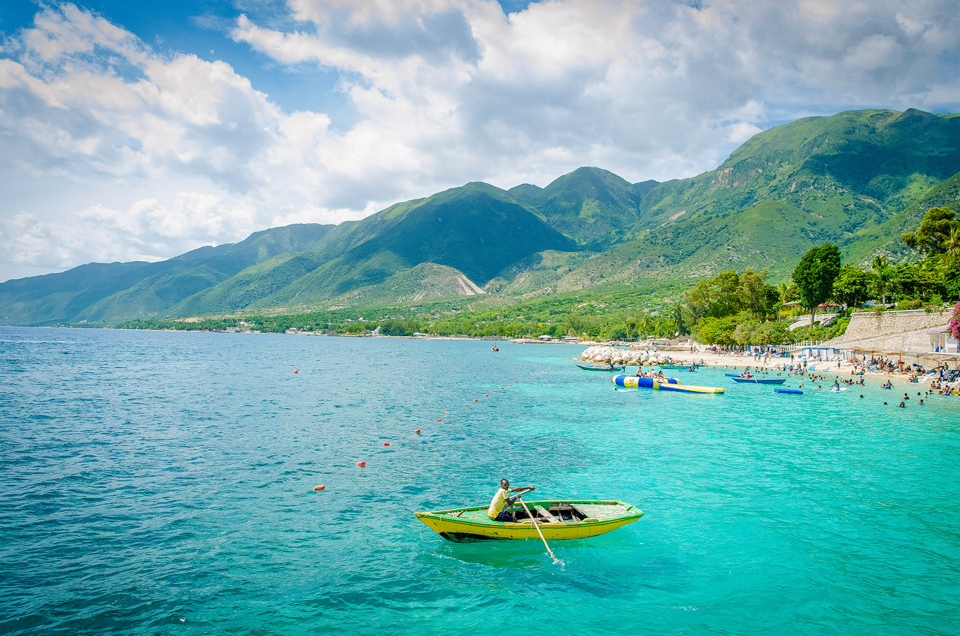
Explore the South of Haiti

Paradise for your inbox
Your monthly ticket to Haiti awaits! Get first-hand travel tips, the latest news, and inspiring stories delivered straight to your inbox—no spam, just paradise.