Photo: Anton Lau
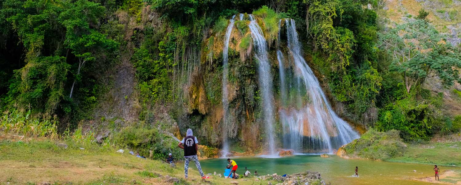
Dive Into the Wild Beauty of Saut-Mathurine
The south coast of Haiti hides some of the country’s most stunning natural wonders. Saut-Mathurine, the country’s largest waterfall, is one of them.
A Hidden World
Located in the commune of Camp-Perrin, Saut-Mathurine is a 40-minute drive from the western city of Les Cayes. The waterfall is at its most spectacular around May and June — but this is also when the road to get there is at its most — let’s say, adventurous.
During the rainy season, the Cavaillon River that feeds Saut-Mathurine flows powerfully, and you can hear the crashing falls from a distance. In January — Haiti’s driest month — it may not be running at all, but the pool is still a gorgeous place to swim, and the jungle scenery is every bit as lush and dramatic as during the rains.
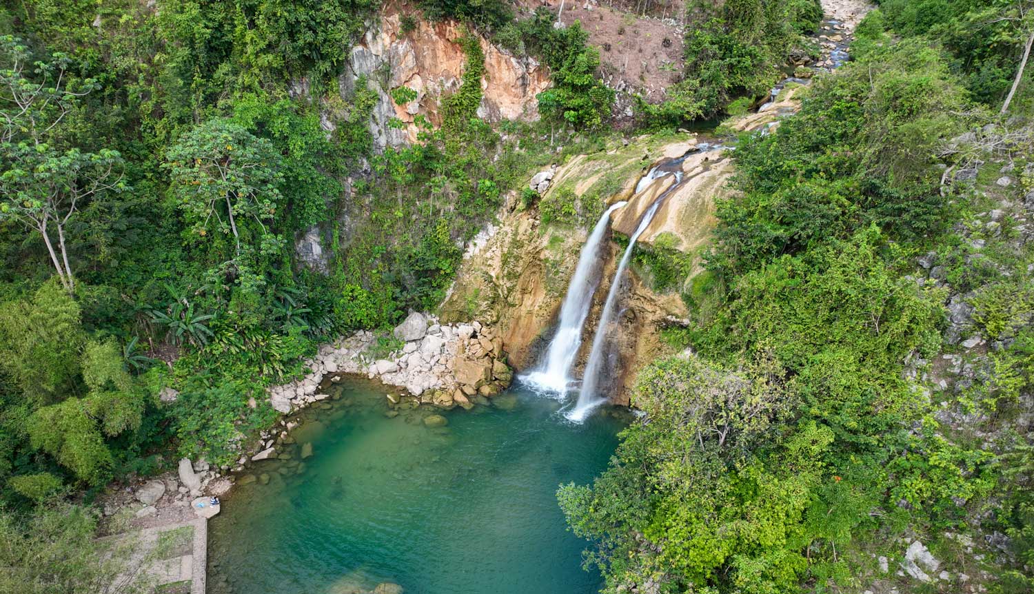
Saut-Mathurine runs through a ravine, and the scene is something out of Jurassic Park: the waterfall thunders into a pristine pool of bright aqua waters, almost green but crystal-clear. Half of the pool is accessible — the other is jagged rock cliffs frothing with jungle trees, vines, and moss. At the far end from the waterfall, water cascades over the edge of the pool and becomes rapids that continue on through the ravine. The ridges of the ravine overflow with towering native forest, echoing with the calls of local birdlife like the Hispaniolan Trogon (Kanson Wouj), Greater Antillean Grackle, and Hispaniolan Oriole.

a touch of
haitian wisdom
Bring home a piece of Haiti’s wisdom with our gallery boards, each adorned with beautiful illustrations of traditional Haitian proverbs.


On the accessible side, there’s a stone ledge that makes it easier to get right up close to the water’s edge without falling in. But bring swimwear! Saut-Mathurine is a fantastic place to swim — often described by locals as even better than Gelée Beach.
The water is ice-cold, but on sunny days (which is most of them), it’s absolutely worth it. A few hours in this paradise is enough to wash away six months of working way too hard on whatever it is that you do.
A steep trail leads to the top of the waterfall, offering views over the valley and access to a few natural pools. Fewer people know that a second waterfall — smaller but still stunning — lies further upriver, with a large, secluded pool that’s rarely visited. Beyond that is the Bassin Mahaut hydroelectric plant, which remarkably supplies Camp-Perrin with 24-hour electricity — a rarity in Haiti.

Photo: Anton Lau
Know Before You Go
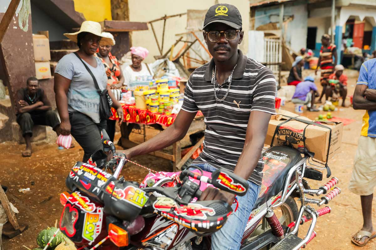
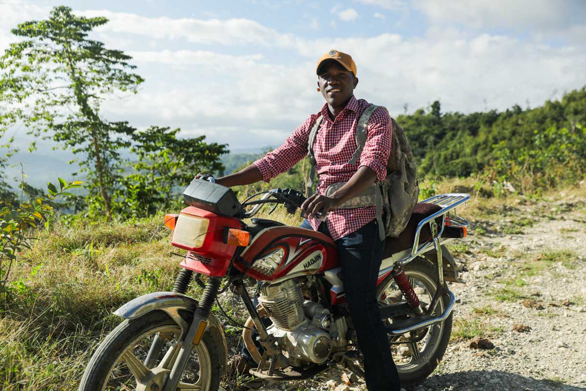
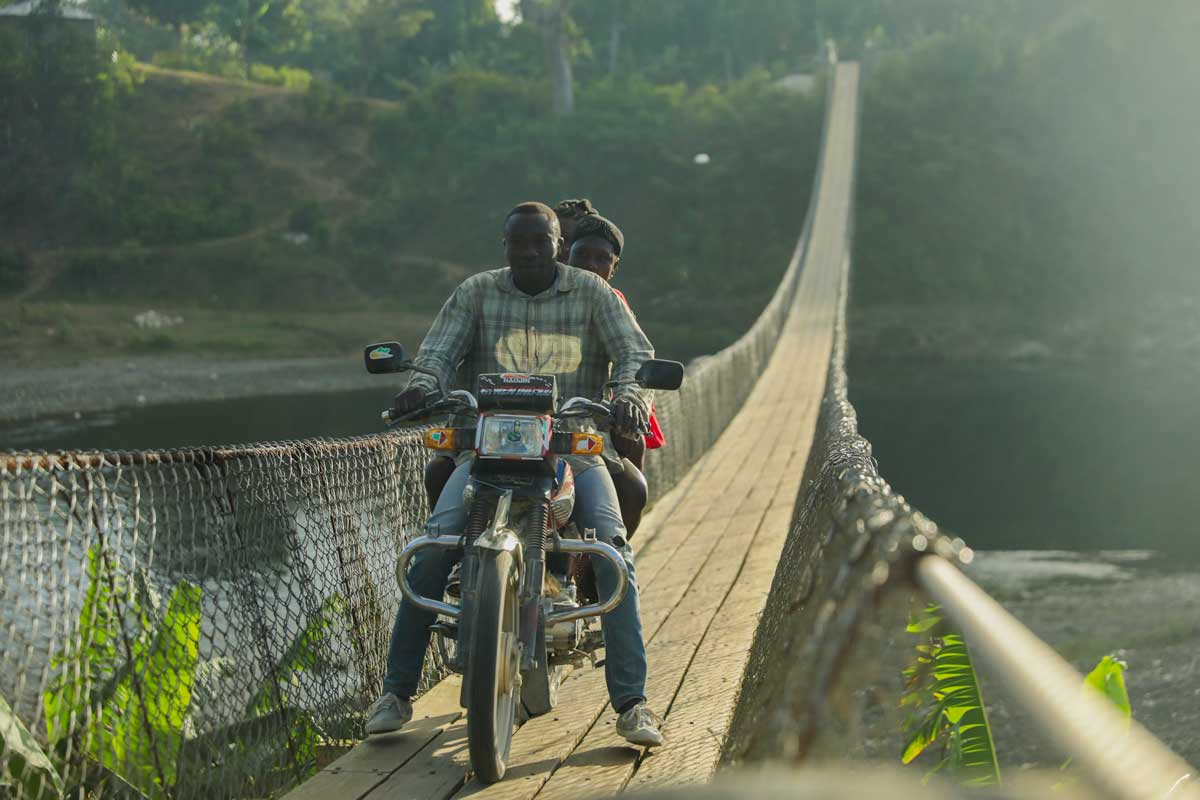
- You’ll need a 4×4 or moto taxi to reach Saut-Mathurine. The road hasn’t been improved in years, and it’s rugged, especially during the rainy season. If you’re not used to driving off-road, it’s best to hire a driver from Les Cayes or Camp-Perrin.
- Entrance is 250 gourdes, paid at the small park office by the gate. There are no restrooms or shops, and the once-operational restaurant and boutique are now closed — so come prepared.
- Local guides are available at the entrance and will usually approach you first. If you don’t clearly choose one and ask the others to step back, you might find yourself with several guides expecting payment at the end. To avoid confusion, pick your guide (or guides), agree on a price upfront, and make sure you have the right cash on hand. A fair rate is between 500 and 1000 gourdes.
- Coconut vendors — usually young local guys — often hang out near the waterfall. A fair price is 250 gourdes per coconut, which they’ll crack open with a machete so you can drink the water. Afterward, they’ll split it in half and carve out a spoon from the husk so you can scoop up the sweet pulp — one of the simplest and most refreshing treats in the area.
- Bring swimwear, drinking water, sunscreen, and sturdy shoes. There’s a steep trail to the top of the falls, where you’ll find natural pools and even a second, hidden waterfall further upriver. The hike is worth it — but only if you’re prepared.
- Don’t rush it. Saut-Mathurine is the kind of place best enjoyed slowly, with time to explore, swim, or just sit and listen to the water and birds.

From Our Land to Your Home
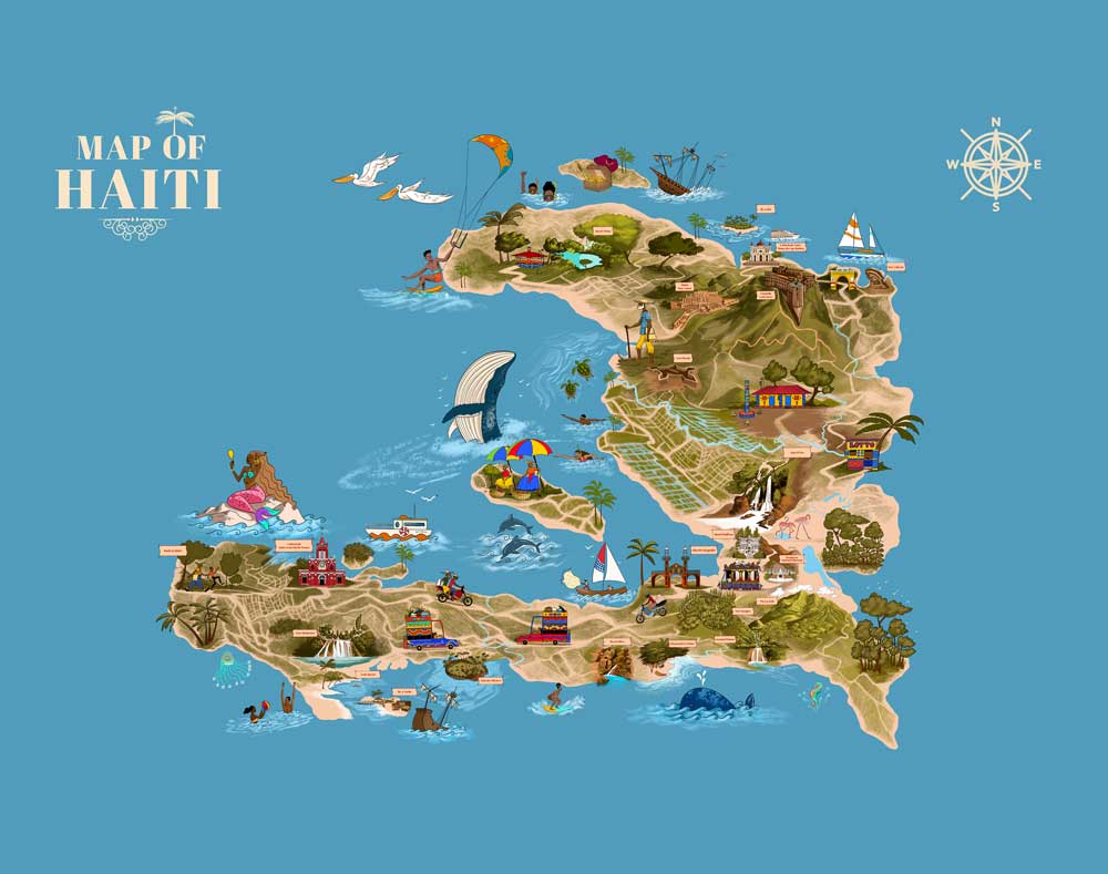
Journey through Haiti’s beauty and history with our detailed island map. Discover landscapes, landmarks, and legends in one stunning poster perfect for your home.
Getting there
Saut-Mathurine is still off the beaten path — quite literally. The road remains unpaved and in poor condition, so you’ll need a 4×4 vehicle to reach the site safely. Vehicles can be rented in Les Cayes, though if you’re not used to rough terrain, it’s worth asking for a local driver who knows the route well. While the journey is rugged, the reward at the end is undeniable.
Once inside, visitors can follow footpaths that wind through the lush jungle and along the river’s edge. While the restaurant and craft boutique mentioned in older guides are no longer operational, the natural beauty of the site remains intact — and wonderfully uncommercialized.
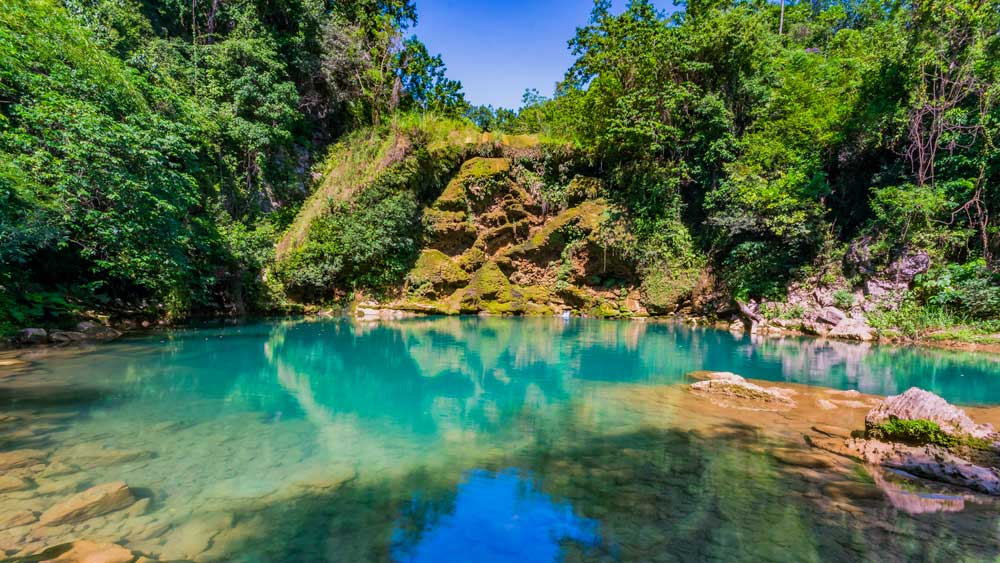
Photo: Verdy Verna
Stay the Night and Explore Pic Macaya
If you’re thinking of sticking around a little longer, Camp-Perrin is a good place to base yourself. It’s quiet, friendly, and close to everything. There are a few small hotels in town — nothing fancy, but enough to get a good night’s sleep. We recommend Villaggio Guest House if you’re looking for something pocket-friendly. The rooms have air conditioning, and the owners are used to hosting travelers heading out to the falls or the mountains.
Not many people make it all the way out to Les Cayes, but that’s slowly starting to change. These days, more travelers are flying into Cap-Haïtien and skipping Port-au-Prince altogether. If you do make it out here, you’ll see why it’s worth the trip. From Saut-Mathurine, it’s just a short ride to one of Haiti’s most incredible natural wonders — Pic Macaya National Park.
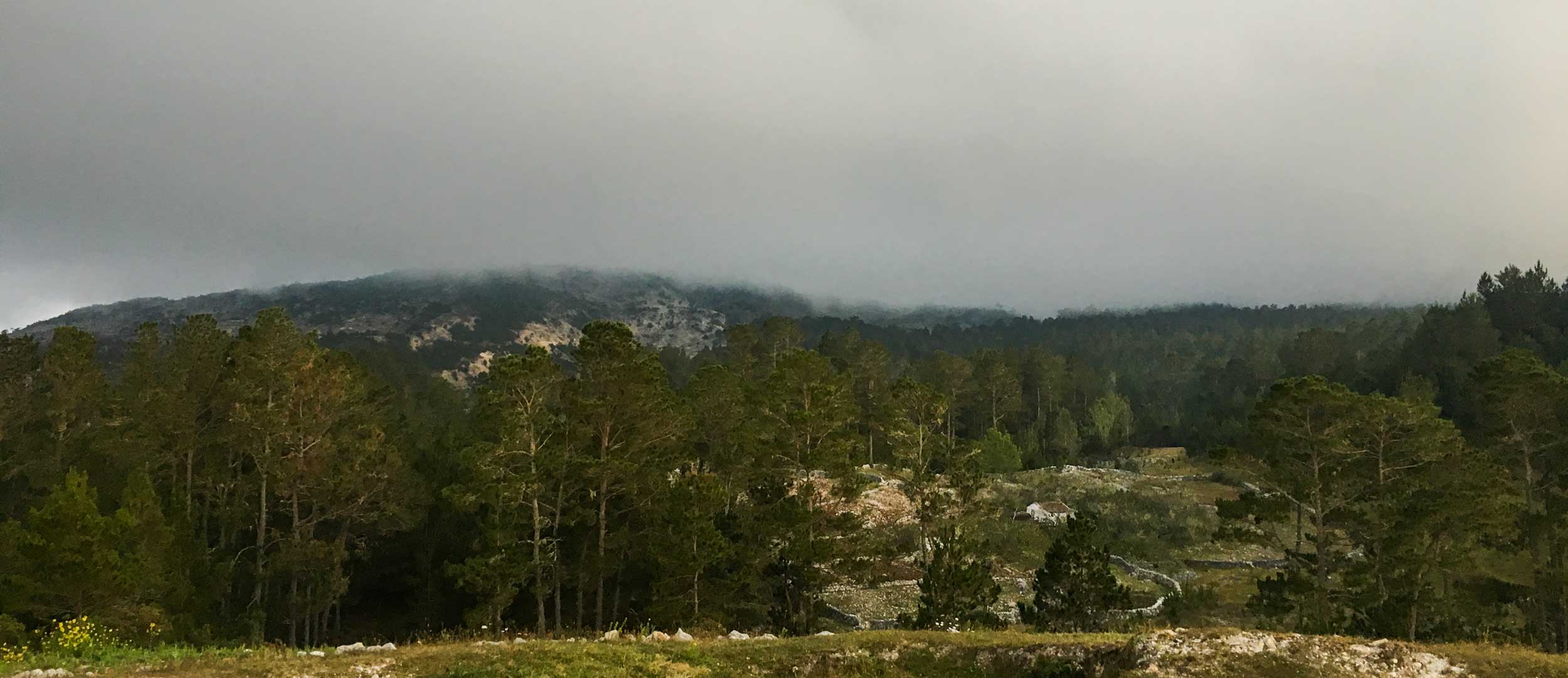
You’ll actually spot Macaya mountain on the drive down to the waterfall — rising up in the distance, quiet and covered in mist. It’s Haiti’s second-highest peak, and the national park around it is the biggest biodiversity hotspot in the country. Think hundreds of orchids, rare frogs, bright birds, and trees you won’t find anywhere else. Scientists are still discovering new species up there. If you like hiking, birdwatching, nature, or just being surrounded by green, this is the place.
Spend a night or two in Camp-Perrin, and take your time. Between the waterfall and the mountains, there’s more to see here than you might expect — and plenty of space to breathe.
Want to keep chasing waterfalls? Here are some of the prettiest falls in Haiti worth adding to your itinerary.
Written by Kelly Paulemon.
Published October 2018.
Updated March 2025.
Find Saut-Mathurine
External Links
Read more about Saut-Mathurine
Check out the latest visitor reviews
The Most Beautiful Places to Visit in Haiti
Sun-kissed and sandy-toed, we’ve toured Haiti to bring you our pick of the most beautiful places on the island.
Looking for some cool things to discover?
Paradise for your inbox
Your monthly ticket to Haiti awaits! Get first-hand travel tips, the latest news, and inspiring stories delivered straight to your inbox—no spam, just paradise.