Photo: Shutterstock
Wildlife in Haiti
Here’s our guide to the animals that call this enchanting island home
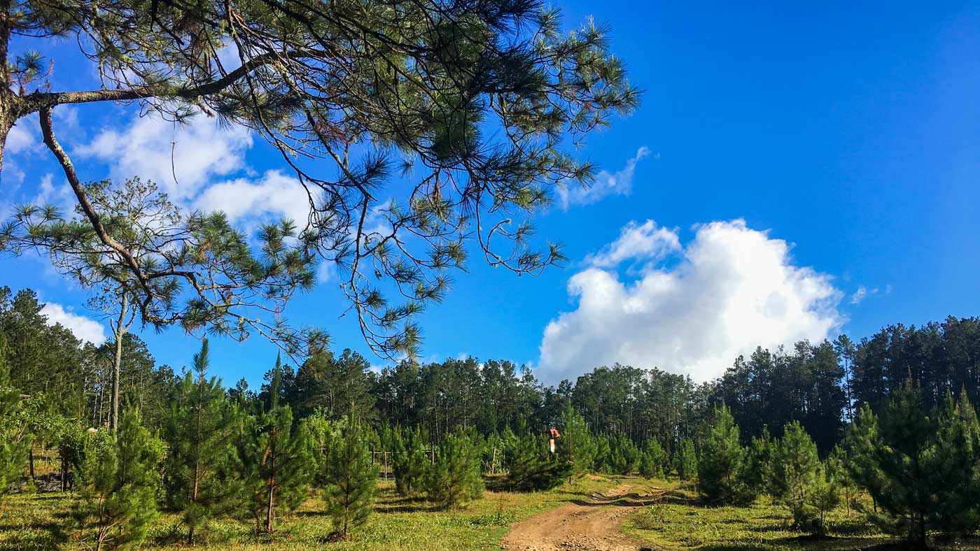
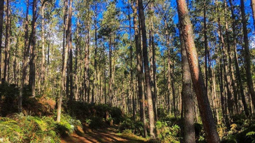
Haiti’s position in the Caribbean favors a rich diversity in plant and animal life, despite decades of intensive deforestation during the twentieth century that have dramatically changed the landscape.
The effects of this exploitation can be seen from space, but down on ground level degradation has been halted, conservation is on the upswing and every year, the ecosystems that have remained intact attract nature and wildlife lovers to this side of the island.
While you’re in Haiti, you’ll have the chance to see some unique wildlife, including many birds, mammals and reptiles endemic to Hispaniola. Here’s our guide to the fauna and flora of this enchanting island.
The Birds of Haiti on Your Wall
Elevate your space with our beautifully illustrated poster, showcasing 19 of Haiti’s most diverse bird species. Each one is captured in exquisite detail, bringing a piece of Haiti’s nature directly to your home.
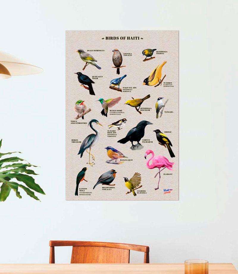

Photo: Shutterstock
Butterflies
There are over one thousand species of butterflies and moths on the island of Hispaniola, so ditch the glasshouse at the zoo and get out there to see some of these beauties for yourself. If you are in Haiti during the first half of the year through to the middle of the summer, you will spot the bright yellow butterflies which Haitians call Papillons de la Saint-Jean (St. John’s Butterflies, in English). Monarch butterflies make an appearance during the last third of the year.

Photo: René Durocher
Birdlife
Keen birders will get a lot out of a stay in Haiti. There are two species endemic to Haiti, and a further twenty-six endemic to Hispaniola – the island Haiti shares with Dominican Republic.
Hummingbirds, Todies, Orioles and Flamingoes are just a few of the magnificent birds you’ll have a chance to spot when you visit. To learn more, check out these 10 amazing birds of Haiti and read our guide about bird watching in Haiti.
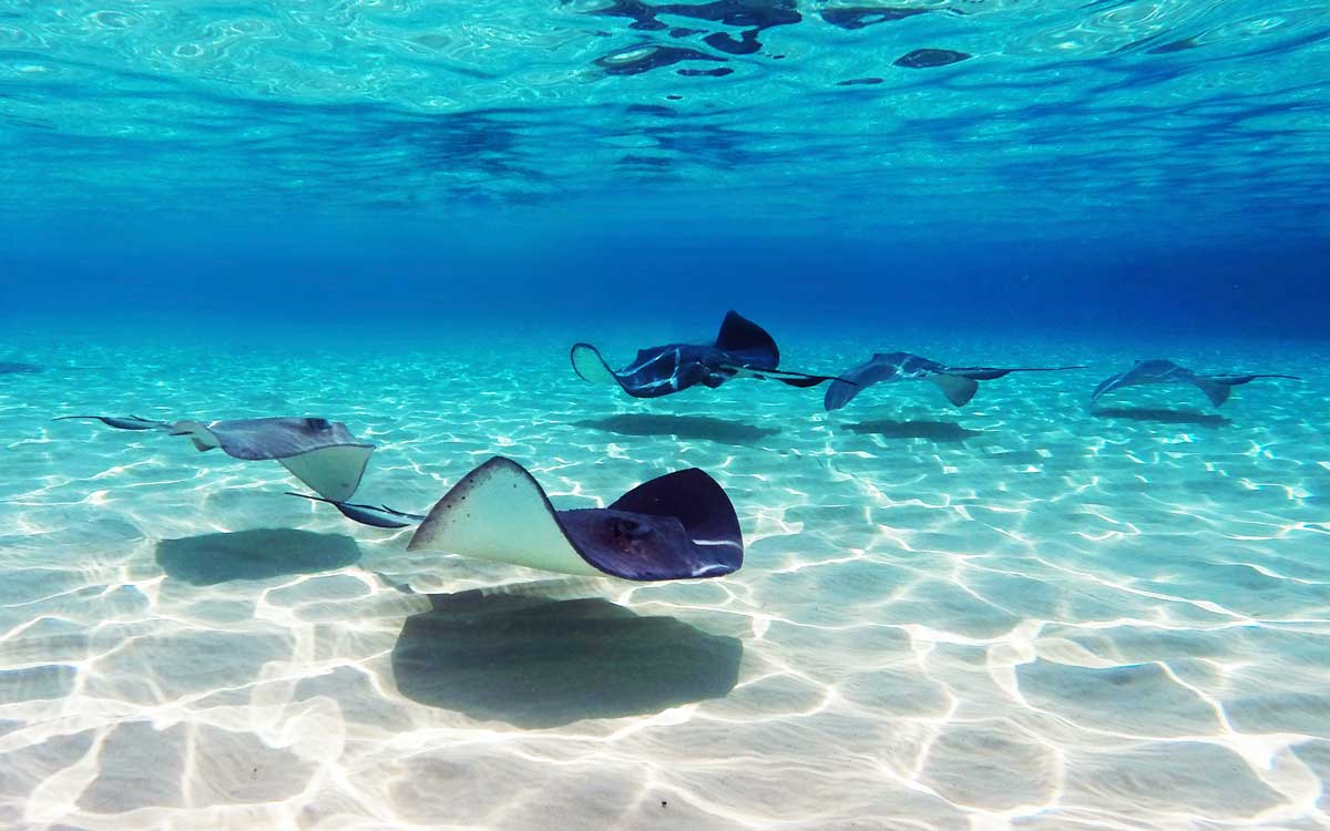
Photo: Shutterstock
Marine Life
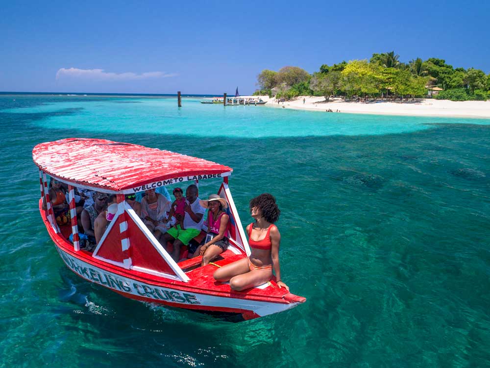
From the beach or the bow of a water taxi or privately chartered boat, you can see porcupine fish, stingrays and the quizzically-named warteye stargazers and bridled burrfish! The central and south coasts of Haiti are famously shallow and gradual, and many species have evolved to hang out close to the shore where they’re easy to spot. This means that if you are staying at a beachside resort or visiting a public beach, there’s an excellent chance you’ll run into them.
Out in the waters of Petit-Goâve, as well as La Gonâve (specifically in the area of Anse-à-Galets), dolphins are known to make a special guest appearance!
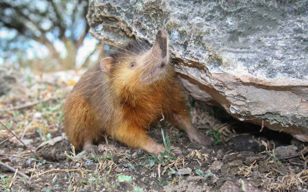
Photo: Wikimedia Commons
Snakes and strange creatures
Snakes are fairly common, but you’ll be glad to hear that Haiti is one of the few places in the world with no snakes that are dangerously venomous to humans (although some do have venom for subduing small prey). Snakes have a long human-entwined history in Haiti, where they wow audiences at tourist destinations and patron saint festivals around the country, and at carnival, where they are often the stars of the show.
Speaking of venom, Hispaniola happens to be home to the world’s only known venomous mammal, the utterly bizarre solenodon, which has evolved snake-like venom-injecting teeth. Don’t worry though, like the snakes in Haiti, they aren’t dangerous to humans. These enigmatic creatures are critically endangered, but with pockets of them recently confirmed in Haiti as well as the Dominican Republic, internationally-supported conservation efforts are underway to keep these little monsters safe.
Want to discover Haiti’s wildlife?
This list of critters is far from exhaustive. To learn more, talk to your local friends, host, guide, or specialty birdwatching and wildlife tour operators.
Written by Kelly Paulemon.
Published June 2020.
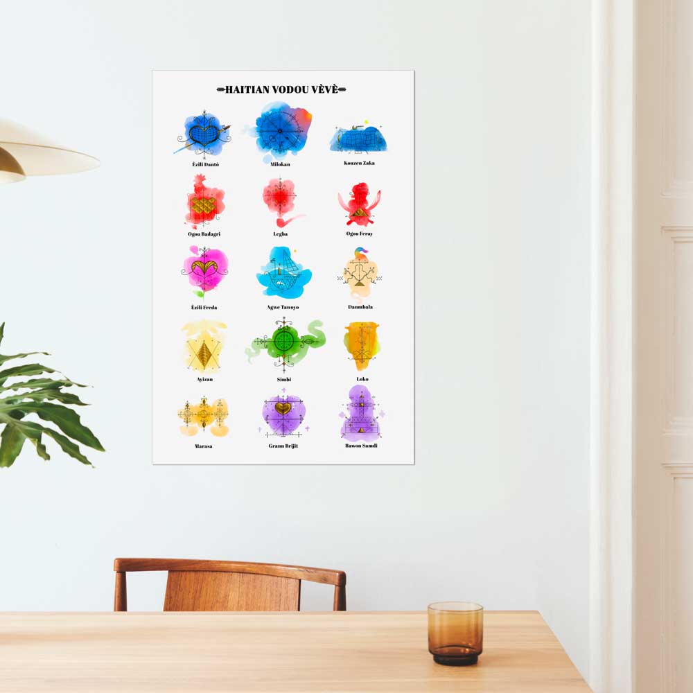
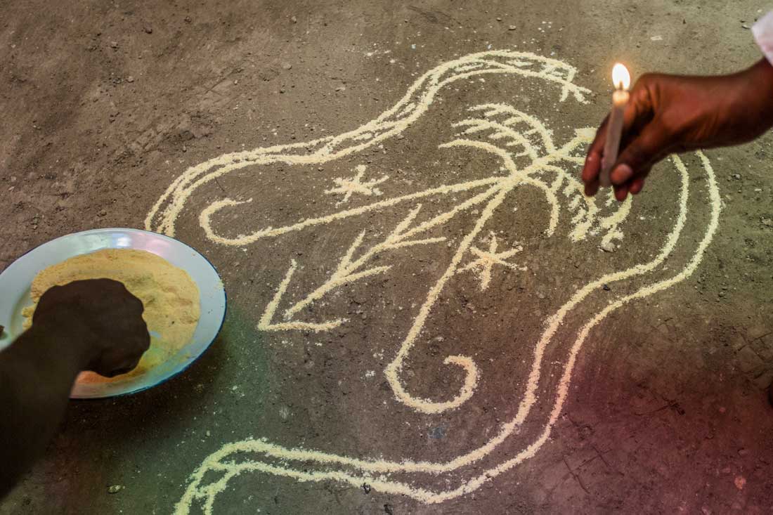
A Visual Guide to
Vodou Symbols
Discover the intricate art of Vodou symbols with our visual guide to the vèvè of Haitian Vodou. Immerse yourself in the heart of spirituality and tradition and learn the significance behind each symbol.
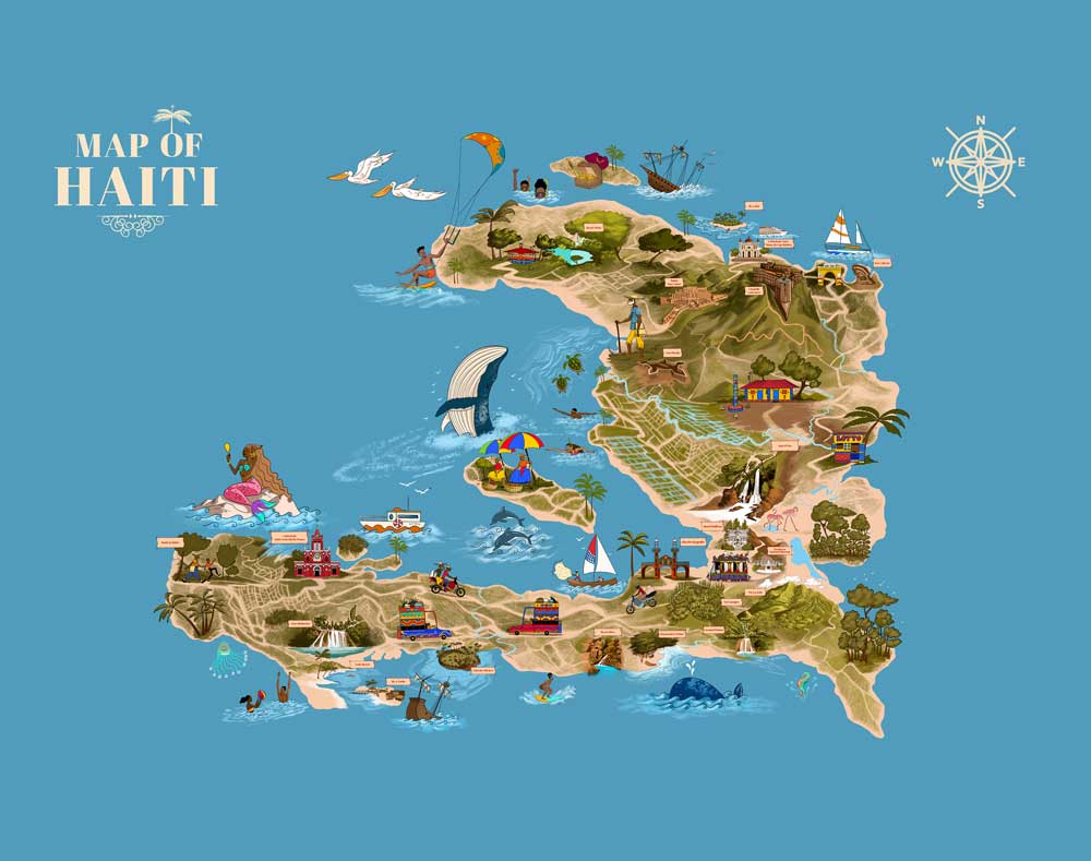
Explore Haiti’s wildlife and nature
Paradise for your inbox
Your monthly ticket to Haiti awaits! Get first-hand travel tips, the latest news, and inspiring stories delivered straight to your inbox—no spam, just paradise.